🤖 Model 🖼️

wzesk/littoral_segment
Segment islands and coastlines in images. Takes a single image as input and outputs a segmentation mask highlighting lit...
Found 6 models (showing 1-6)
Segment islands and coastlines in images. Takes a single image as input and outputs a segmentation mask highlighting lit...
Upscale low-resolution satellite imagery into higher-resolution images, specialized for small island shorelines and litt...
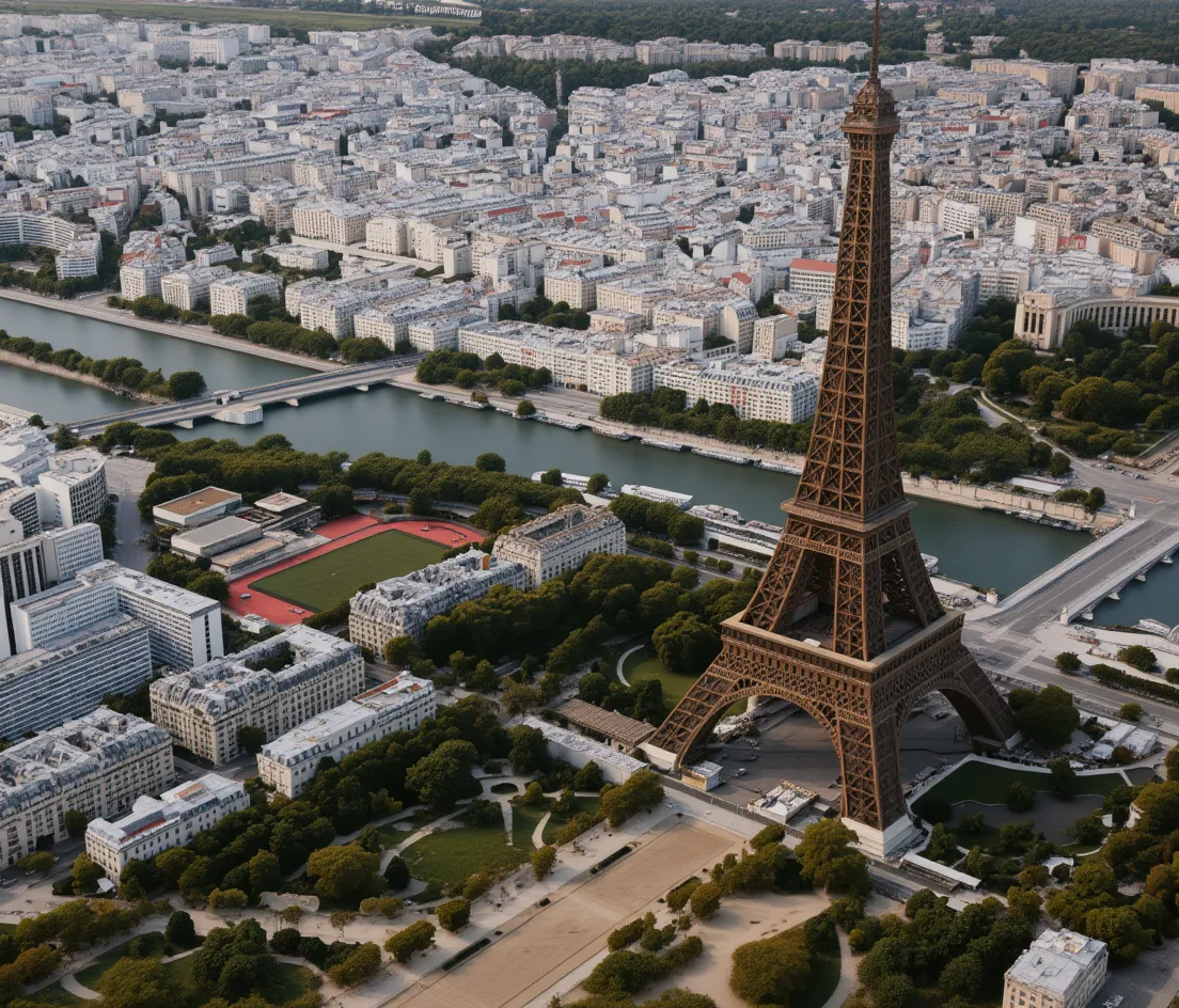
Convert satellite or map images into photorealistic drone-style aerial photos. Provide an input image plus a text prompt...
Generate satellite-style aerial images from text prompts. Optionally edit or inpaint existing images by providing an inp...
Generate satellite-style aerial images from text prompts. Optionally transform an input image or inpaint masked regions...
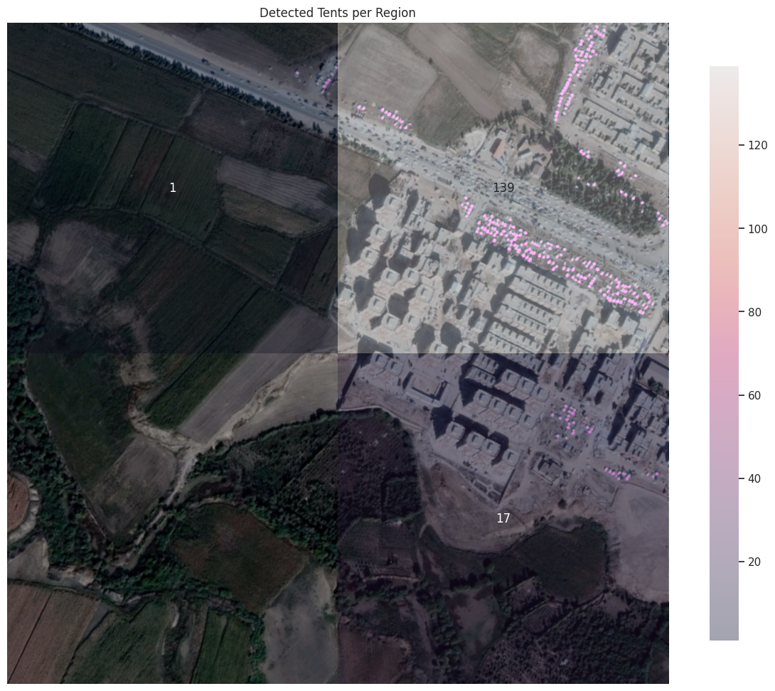
Detect tents in satellite or aerial images. Takes a single image as input and outputs an annotated image overlay highlig...