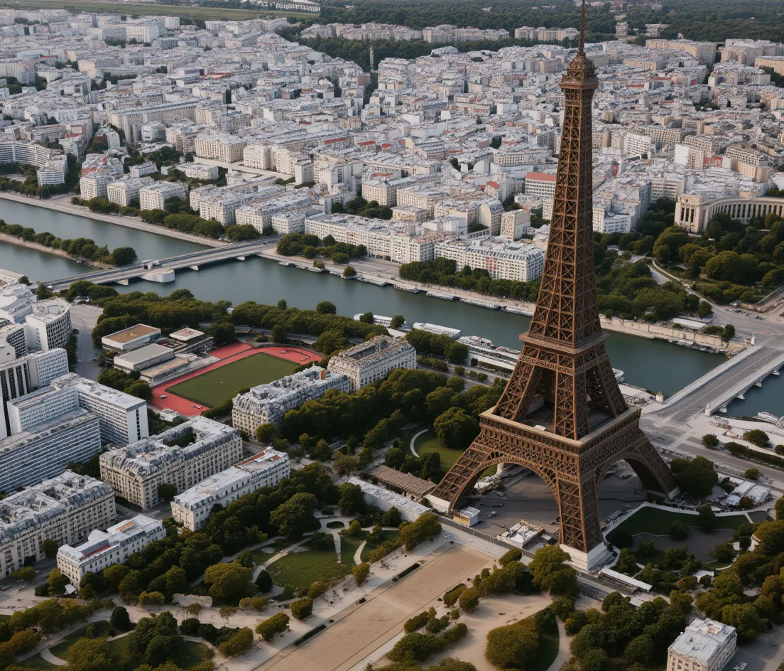
🤖 Model 🖼️ → 🖼️ lucataco/kontext-realearth Convert satellite or map images into photorealistic drone-style aerial photos. Provide an input image plus a text prompt... 🖼️ → 🖼️ • image-to-image • image-editing • drone-photography • 2.6K runs